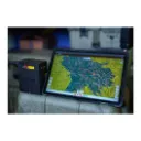
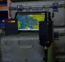
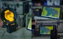
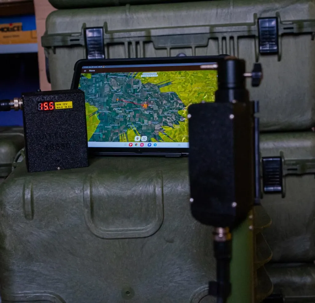
STMonkey is a flight route planning system, as well as control of the STMonkey ground station, FlyMonkey repeater, and ground station rotary mechanism.
Main features of STMonkey as a route planner:
Easy to use app
Cartography and navigation
Displaying the position of the ground station on the map
Support for offline maps and offline elevation maps
Display of distance and azimuth to the target
Search by town names and coordinates
Displaying azimuths between route markers
Different types of maps: Topo, Hybrid, Satellite
Support for MGRS and WGS-84 coordinates
Adaptive interface for mobile devices
Knowledge base and training materials
Supported operating systems: Android
Regular updates and functionality improvements
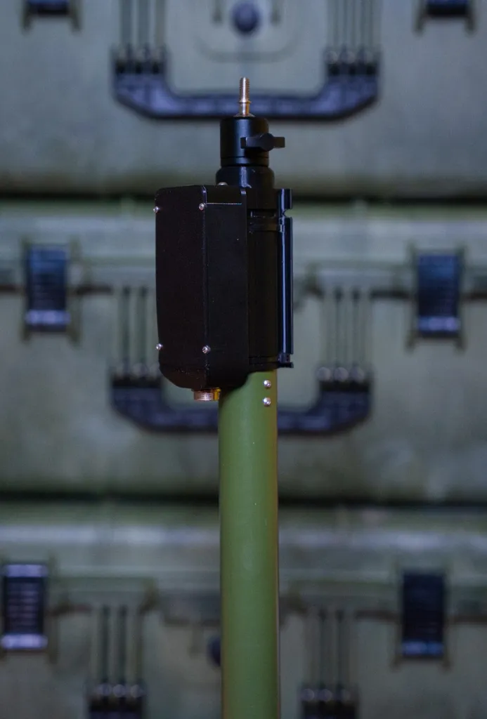
Main functions in interaction with the Rotary mechanism:
Antenna calibration by azimuth or visual reference
Configurable antenna operating sector in degrees
Configurable working area radius
Control the rotary mechanism with one click on the map
Manual control of the antenna rotation mechanism
Controlling the rotary mechanism along a pre-prepared route
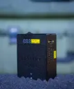
Main functions in interaction with STMonkey (Ground Control Station):
Support for two video receivers
Managing video streams
Control of video receivers (VRX) with the ability to change frequency and channels
Preset system for quick switching between channels, toggle control
Support for various types of video systems: 1.2 GHz, 3.3 GHz, 5.8 GHz (Walksnail VRX)
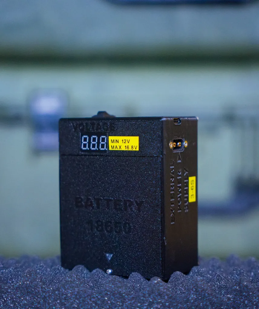
Battery charge monitoring and voice notification of critical charge
System temperature control
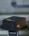
Main functions in interaction with FlyMonkey (repeater):
Control of video receivers (VRX) with the ability to change frequency and channels
Preset system for quick switching between VRX and VTX channels, VTX power control via toggle switch
Support for various types of video receivers and video transmitters: 1.2 GHz, 3.3 GHz, 5.8 GHz
Control of various video transmitters (VTX) with frequency and power settings
Battery charge control